Demographic data - the “Jack of all trades” in geospatial analytics
8/4/2021 written by Andreas Salentinig
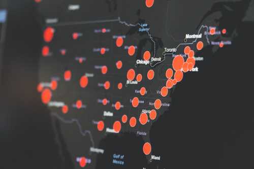
Recently I have come across an article about a research study to evaluate the US COVID-19 vaccine program success. The authors of the study used data that included population demographics, an empirically determined contact network accounting for pandemic mobility patterns, and age-specific risks of severe health outcomes due to COVID-19.


As a scientist and entrepreneur I found the conclusions of this research very interesting for two reasons: Firstly, the research paper suggests that the vaccination program prevented an additional 279,000 deaths and 1.25 million hospitalizations (in the US only). That's like saving the lives of the whole population of Graz! Very impressive. Secondly, the fact that city-specific population demographics are among the most important input parameters of the models used to estimate those numbers showed me once again how diverse the use cases of these data are and how important it is to actually have spatial information about human populations and their distribution.
In a related article the importance of geographic data in health research is highlighted and their advantages and drawbacks are discussed. The main problem with the currently available data sets is that the information is usually aggregated at administrative units (census block, zip code, county, state). While this - of course - makes sense for a lot of common applications, epidemiological studies ideally would need fine-scale , gridded demographic information, independent of any borders. In this case it's not enough to know in which states or counties the ratio of people at risk is high, but in which neighborhoods of a city these people are located.
At ubicube we are working on a new approach to estimate socio -demographic, -economic and -envionmental attributes (SEDEA) using satellite imagery and Points of Interest (POI) data. With this new technology in place, we are capable of providing high resolution SEDEA maps for populated areas around the globe with consistent quality and comparability beyond any administrative borders. I am very positive that our services can contribute to societal efforts to fight future epidemics.
We recently launched a SEDEA showroom to demonstrate the possibilities of our technology. Check it out at https://sedea.ubicube.eu/